Please I ask you to generate a small map location somewhere on the screen! People get lost and need to be located especially in large spaces that are visited by temporary users, such as a fair in a large hall or something similar. People do not know if they have already been to a place or where they have walked and that baffles them.
This is a popular request and we would like to add it, however it is also a rather large task and we won’t be able to work on it in the nearest future.
For now, you could try to incorporate a minmap using JavaScript API and custom HTML for UI, but it would be rather a larger undertaking. A minimap images would need to be produced manually, for example based on an orthographic top view from SketchUp. With the JavaScript API you can do something like this: 3D scene but you would need to extend it to use a map image instead of a gray background and add some HTML UI elements for folding such map.
2 Likes
Hi @jan, Thanks for replying. It is a very important request that would help us to sell more tours!
Making an image of a plan in sketchup is very easy, where can I find the API or the scrip to enter it as you mention? I am not a programmer but I will try
If someone from the forum wants to try it with me, welcome!
BTW: I can not see the map in the link you sent me, it seems that it is lost.
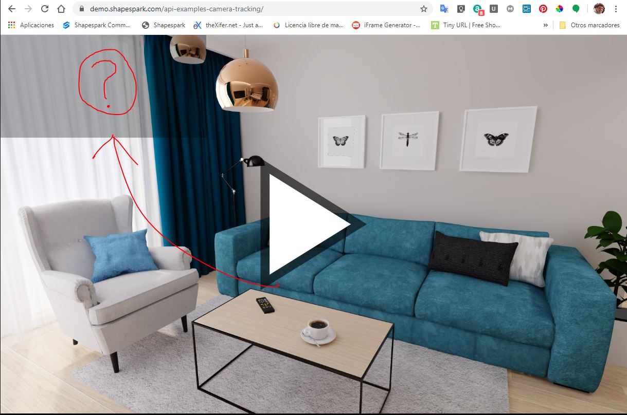
This is a very basic example that just draws a path of a camera without any map. The code for this example is in the Get the camera position and rotation. section of this documents: GitHub - shapespark/shapespark-viewer-api: JavaScript API for interacting with the Shapespark 3D scene. (you can download body-end.html file linked from this section and put it in your scene directory). If you run into some troubles we will try to help on the forum.